The Four Main Environments of the Arabian Peninsula Desert The desert is hot and dry with many plateaus. There is rare rainfall, and when it does occur, huge storms take place. Many people at this time live in towns or villages, while others were Bedouins. During night and in the winter, temperatures can go below the freezing point. Many sand storms occur which is why people began fully dressing themselves to protect themselves. They drank and ate milk, yogurt, cheese, and meat. Their animal herds provided much for them. Camels were used to carry heavy loads while nomads roamed the land. Oases The oases are a very fertile land with plants everywhere. Oases also vary in size. Many nomads and caravans moved here based on their needs, (mostly for water and vegetation for their herds), and soon became sedentary. Farmers used palm woods to build homes. The oases was surrounded by many towns that soon developed into trading centers. Trade and merchant soon became a large part of the oasis. Coastal Plain The Coastal Plain's air is damp and moist with regular rainfall. Random riverbeds cut through the coastal plain and occasionally fill with water. The coastal plain area ends with a series of rocky cliffs. People built dams, wells, and irrigation systems. They stored rainfall water in reservoirs and canals. Farmers grew grains, fruits, and vegetables. Farmers also used fragrant tree sap to make many things. Since people lived on the coast here, sea bartering began. Mountains Mountains were 1,000 to 2,000 feet high. Moist winds from near oceans bring 20 inches of rain per year to the mountains. Rain and elevation keeps the temperatures cool while ancient dry riverbeds cut down the sides of the mountains and fill with rainwater. People lived in houses made from mud bricks and soon began to create terraces for farming. Farmers made dams and irrigation systems and found many ways to store extra rainwater. They also grew fruits like pomegranates and melons. 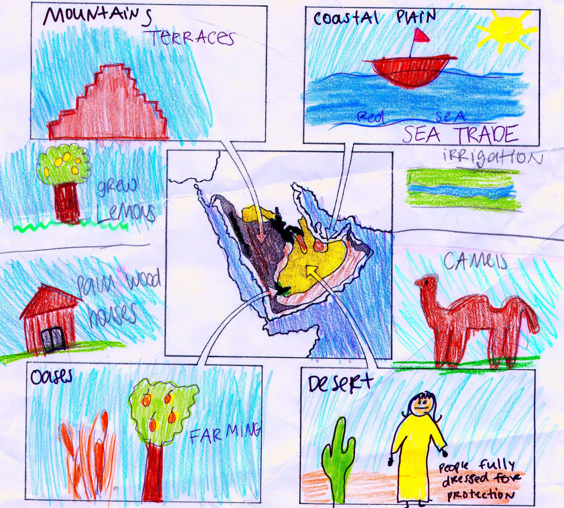 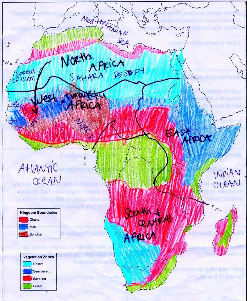 |
Desert 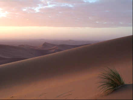 Oases 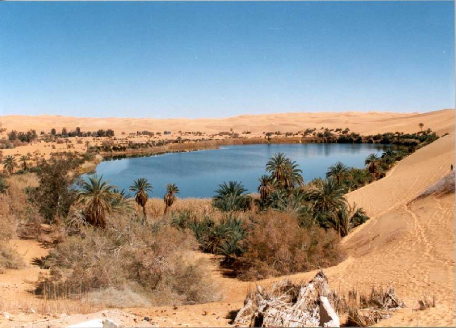 Coastal Plain 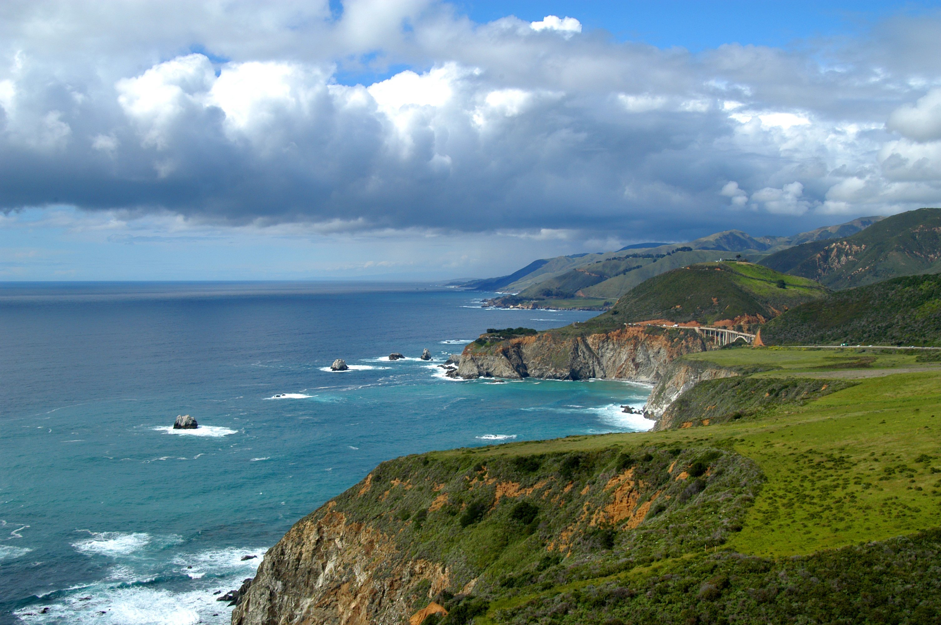 Mountains  The Niger River and the Four Vegetation Zones of Africa The African Desert Like most deserts, Africa's desert is hot, sandy, and dry. The African desert is called the Sahara Desert. It covers some of North Africa and the northern part of West Africa. The Sahara Desert is covered in sand dunes, rocky plains, and mountains. Most of the Sahara is very dry, although you may come a cross a few scattered oases. But as you can imagine, the Sahara Desert isn't very suitable for settling it. The African Semi desert As you can see on the map below, just a bit south of the Sahara is a zone of semidesert, which is called the Sahel. The Sahel isn't as dry as the Sahara, which is why there is enough water for certain plants to survive. The African Savanna The southern part of the Sahara merges into the savanna, an area of tall grasses and scattered trees. Because of its long rainy season, many grains can be grown there. Grasses provides food for many savanna animals, while the Niger River helps make nearby land fertile and provides fish for food. The African Forests The Niger River extends into the forest zone in the southern part of West Africa. This forest zone, contains of two types of forests: a woodland forest (which is the northern part of the forest zone) with trees and shrubs. And a lush rainforest (southern part), where rain falls all year, causing tall trees and teak to grow above swamps and lagoons.
All of these vegetations zones give out many different resources. Just like the Niger River promotes sea trade, all these resources encourage trade with everyone who lives in a different zone. People traveled the Niger and other rivers by canoe to trade goods, while others crossed the desert from North Africa, although most early trade was between West African settlements. Two of the biggest traders at this time, were the gold miners of Wangara and the salt mines of Taghaza. The Wangarans wanted salt, and the Taghazans wanted gold. Timbuktu's location made it the ideal place for people to meet and exchange their goods. Timbuktu was located in the Western part of Africa, on a bend in the Niger River. It started out as a small village and grew into one of the most important cities of its time. The trade routes established with North Africa and West Africa are known as the Trans-Saharan trade, that worked through the silent bartering system. While trading was going on, kumbi developed one of the largest slave markets in West Africa. All the slaves came from the southern part of Ghana. |
The Regions of the Arabian Peninsula |
Make a Free Website with Yola.